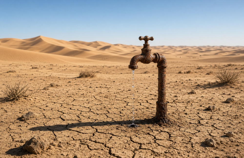
…but not a drop to drink. with apologies to Samuel Taylor Coleridge – OK, we’re not exactly thirsty yet and we probably won’t be if we remember the lesson taught us by our Victorian ancestors and do something radical to transform how we manage and distribute our water, just as they did.
the Summer of 2026 has once again triggered the prophets of doom. they warn us that our Earth is becoming less and less habitable for humans and that we must abandon everything we enjoy about our modern society and revert to a cave dwelling life of misery.
heatwaves and hysteria
almost everything that happens with our weather recently brings about a new, dire warning that we’re all doomed by our own evolution. They still try to convince us we’re causing all this hot recent weather and absence of rainfall, despite the presence of a particularly active, expected and perfectly natural El Niño weather system event.
this event has dried out the land, endangering normal crop and harvest yields and has been exacerbated by inadequate water distribution around England and Wales in particular. Scotland, because of its northerly location has fared better; if you can call an excessive degree of rainfall faring better. but this made me remember something I was taught during my North Western education. The amazing story of Thirlmere Reservoir and Aqueduct.
what is it about the Victorians?
not content with bringing us our industrial society, universal education, and more equitable standard of living, they gave us breathtaking solutions to industrial problems and showed the world what would become the new Societal Renaissance.
I want to focus on the Thirlmere Aqueduct today. this explains how a little place in the English Lake District would enable Manchester and its famous Satanic Mills to become the World’s most prolific centre of textile manufacturing and associated employment for the masses who abandoned a life of poor wages and poverty for the guaranteed employment of mill life.
supplying water on an industrial scale. literally
Manchester’s mills were steam driven. each one had its own steam engines providing power for lighting and driving its machinery for the textile looms from a lake-like mill pond next to each mill. the need for water forced mill construction to be close to rivers and canals to draw sufficient water – estimated to be 15 million gallons per day – for their operation.
textile production also required the cotton and wool to be damp to prevent jamming of the loom machinery and reduce the risk of fire, making access to water even more critical. it wasn’t long before that restriction would also create problems with fresh water supply for the burgeoning new worker population as well as threatening expansion in areas with poor access to clean water. enter engineer John Frederick Bateman.
Bateman is credited as the greatest water engineer of the period – and possibly of all time. he saw the abundance of water in the Cumbrian Lake district and its high annual rainfall there that sustained it. he began to consider whether it could be possible to use some of the water from that vast area to supply Manchester, 95 miles away in the neighbouring county of Lancashire to the south. the idea he came up with was unique and little short of genius.
the plan in greater detail
Batemen’s project team comprised of Bateman himself, along with George Henry Hill (initially his pupil, but later to become his business partner). the two men were involved in the design and construction of the reservoir, dam and the ground breaking aqueduct.
the initial 4-year project opened with an aqueduct and reservoir which broke ground in 1890 and completed in 1894.
the amazing part of the nearly 40,000 litre capacity Thirlmere reservoir was that it would supply water to Manchester entirely by gravity. it has no pumps and the sustained flow is the longest of its kind in Great Britain. the 227m litres of water flows each day at a rate just less than walking pace at around 4 miles per hour, so the water’s journey time is a little over a day before it arrives in Manchester.
the 284 yard long Thirlmere reservoir’s dam is around 850 feet high. Bateman even had the foresight to add a 16 foot wide paved road bordering the dam’s stone parapet walls to assist with maintenance of the structure.
the aqueduct called for a series of cast-iron pipes and tunnels (nearly 45 miles in pipes and 53 miles through tunnels) specifically built for the project. the longest tunnel and the first along the route, is under Dunmail Rise, on the Keswick to Kendal Road. it is over 3 miles long.
Bateman, sadly, despite this accomplishment, isn’t as celebrated as an engineer as Brunel, Brindley, Telford or the Duke of Bridgewater, but its no exaggeration to suggest his achievements have had a more lasting impact on the daily lives of everyone in the North West.
the longest tunnel and the first along the route, is under Dunmail Rise. it is over 3 miles long.
developing Bateman’s legacy for a modern problem
armed with this greater understanding of what Bateman did, lets turn to what we could – and should be doing to fix today’s water demand problems.
Its hard to imagine what difficulties Bateman’s team encountered without the benefit of modern groundwork machinery we have at our disposal. But its much easier to imagine what could be done today with our current technology.
a National Water Grid
Why don’t we take Bateman’s Victorian motorway for water project and create a continuous National Water Grid, bringing water to all the less rainy areas of England?
the major design element – the USP – of Bateman’s Thirlmere project was distance. what he established was the principle that a reservoir doesn’t need to be in the same postcode – indeed not even in the same county – as the community is supplies. if water can be fed over 90 miles to meet the demands of an entire metropolitan area, then why not place any new reservoir where its more geologically suitable rather than on local land where ecological, environmental or economic damage would render it impractical.
a national water grid of “Bateman” reservoirs connected to existing local ones would distribute our water equally across the countryside, managing demand and relieving supply stress caused by a hot summer or any adverse weather situations.
such a grid would not only alleviate water shortages during prolonged hot weather, but could also be used in reverse, to remove excess water from areas at risk of flash flooding through excessive rainfall.
I haven’t seen the overall costs that a long hot summer or flooding caused by a period of excessive rainfall might have on the country, but I think it would help offset the cost of creating the National Water Grid.
all we need is someone with the foresight of Bateman and his expertise to take this from a computer screen to the English countryside.
Now that would be a real achievement.
a national water grid of “Bateman” reservoirs connected to existing local ones would distribute our water equally across the countryside
that’s the end of the history lesson. but next time you find yourself in Greater Manchester, raise a glass of pure Thirlmere water to the great John Frederick Bateman.
now let’s talk about another idea which although not as majestic as Bateman’s might be even more valuable to our struggling agricultural sector.
re-imagining our canals and waterways

picture this. if you’re lucky enough to live near one of our classic canals, you’ll know how what once was a major transport route for our great industries has now become just a pleasant way to spent some time admiring the views or slowly making your way along sitting on a recreation of one of the old canal barges.
canals are like a giant rural natural theme park set aside for our weekend and summer holiday pleasure.
currently, this vast network is maintained by Canal and Rivers Trust volunteers. but could the canal network be pressed into industrial use again to keep our agriculture healthy by providing a stable supply of irrigation and drainage?
canals are like a giant rural natural theme park

this image shows the extent of the English canal network.
as you can see, the main framework is still in place from the days of its time as a transport link for industry.
let’s look at how that might work today. the canal network main routes and spurs remain largely intact, with the locks that allow them to follow the contours of our countryside maintained and functional. along their routes, they are fed by a series of man-made lakes, such as Rudyard Lake in Staffordshire.
when heavy rain falls, the canals are regulated by a series of sluices to overflow into the brooks and rivers criss-crossing along their length.
We tend to think of canals largely as an English countryside thing, but Wales has a network too – but more significantly, so does Scotland, with grand waterways like the Caledonian Canal.
Scotland’s abundance of rain would be crucial to this project as little new infrastructure would have to be built. All that’s needed is to pipe Scotland’s excess water into the English canal network to meet demand in the event of a dry, prolonged summer here.
providing agricultural irrigation access
take off points along the route would allow farming access to the network. each farm could be charged for connecting to the network at a reasonable cost as they would not be using our expensive refined drinking water for irrigation as they do now.
farms that suffer from flooding could use a reverse, filtered connection to carry off excess water. the canal system could carry this via its existing sluice system. again it would be fair to ask the farms to pay for this connection.
too simple – something missing?
sounds a bit too good to be true, I know. I’m sure capacity planning would have to be carefully considered and extra link piping to ensure a continuous network across the existing infrastructure. But if Bateman could put in miles of tunnels and pipework without previous experience and without the benefit of our heavy plant, surely we could, too?
managing our flood plain
farms aren’t the only thing having to worry about excess water. As building expansion has spread across our countryside and onto land already prone to flooding, rural and urban towns and villages could allow canals to manage their flood risks by letting the canals carry the excess water safely away. the cost could be met by the Environment Agency and the housebuilders themselves if building on an existing flood plain.
well, that’s the idea. of course this isn’t a proposal or a comprehensive project plan. that’s beyond the scope of an article like this. but imagine. no more water shortages. no more destroyed crops. no more flooded fields and ruined homes in our beautiful countryside.
all we need is some imagination and the will to preserve our beautiful country.